Lodge Burn re-direction
Introduction
The photograph on this page of Lodge Burn re-direction by Willie Duffin as part of the Geograph project.
The Geograph project started in 2005 with the aim of publishing, organising and preserving representative images for every square kilometre of Great Britain, Ireland and the Isle of Man.

There are currently over 7.5m images from over 14,400 individuals and you can help contribute to the project by visiting https://www.geograph.org.uk
Lodge Burn re-direction
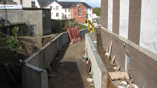
Image: © Willie Duffin Taken: 11 Apr 2012
This is part of the Lodge Burn flood alleviation scheme. The new culvert runs under Railway Road into Anderson Park.
Images are licensed for reuse under creativecommons.org/licenses/by-sa/2.0
Image Location
Latitude
55.132308
Longitude
-6.665771