Primrose Bank
Introduction
The photograph on this page of Primrose Bank by Stephen Darlington as part of the Geograph project.
The Geograph project started in 2005 with the aim of publishing, organising and preserving representative images for every square kilometre of Great Britain, Ireland and the Isle of Man.

There are currently over 7.5m images from over 14,400 individuals and you can help contribute to the project by visiting https://www.geograph.org.uk
Primrose Bank
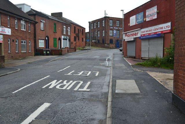
Image: © Stephen Darlington Taken: 24 Jun 2012
Part of the old road between Oldham and Ashton-under-Lyne. Was replaced by turnpike around 1800.
Images are licensed for reuse under creativecommons.org/licenses/by-sa/2.0
Image Location
Latitude
53.535295
Longitude
-2.116287