2012 : Eastern end of Back Lane near Greendown
Introduction
The photograph on this page of 2012 : Eastern end of Back Lane near Greendown by Maurice Pullin as part of the Geograph project.
The Geograph project started in 2005 with the aim of publishing, organising and preserving representative images for every square kilometre of Great Britain, Ireland and the Isle of Man.

There are currently over 7.5m images from over 14,400 individuals and you can help contribute to the project by visiting https://www.geograph.org.uk
2012 : Eastern end of Back Lane near Greendown
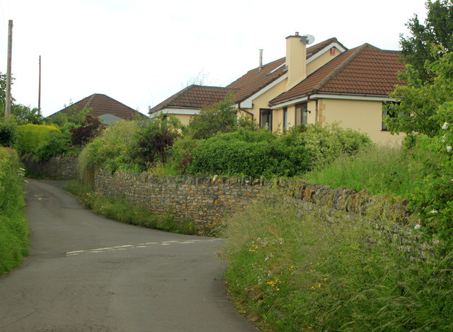
Image: © Maurice Pullin Taken: 18 Jun 2012
A group of bungalows at the eastern end of Back Lane near Wooten Hall Cottage.
Images are licensed for reuse under creativecommons.org/licenses/by-sa/2.0
Image Location


Leaflet Map data © OpenStreetMap
Latitude
51.285026
Longitude
-2.602326