Lane near Appleridge Farm
Introduction
The photograph on this page of Lane near Appleridge Farm by Ruth Riddle as part of the Geograph project.
The Geograph project started in 2005 with the aim of publishing, organising and preserving representative images for every square kilometre of Great Britain, Ireland and the Isle of Man.

There are currently over 7.5m images from over 14,400 individuals and you can help contribute to the project by visiting https://www.geograph.org.uk
Lane near Appleridge Farm
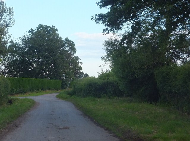
Image: © Ruth Riddle Taken: 24 Jun 2012
Further down this road the route becomes a bridleway named Dog-gate Lane. The direction pointer for the bridleway may just be glimpsed on the leaning pole in the middle distance.
Images are licensed for reuse under creativecommons.org/licenses/by-sa/2.0
Image Location
Latitude
51.660715
Longitude
-2.481374