Whitehead Gardens
Introduction
The photograph on this page of Whitehead Gardens by David Dixon as part of the Geograph project.
The Geograph project started in 2005 with the aim of publishing, organising and preserving representative images for every square kilometre of Great Britain, Ireland and the Isle of Man.

There are currently over 7.5m images from over 14,400 individuals and you can help contribute to the project by visiting https://www.geograph.org.uk
Whitehead Gardens
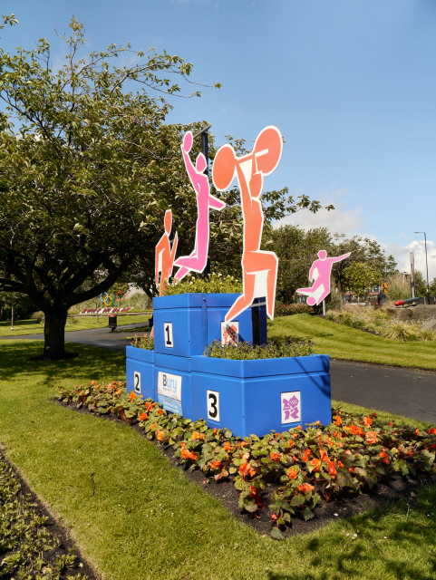
Image: © David Dixon Taken: 24 Jun 2012
Whitehead Gardens is the triangular-shaped piece of land between The Town Hall, Knowsley Street and Manchester Road. The displays for 2012 are on a sporting theme (in particular, the 2012 London Olympics).
Images are licensed for reuse under creativecommons.org/licenses/by-sa/2.0
Image Location
Latitude
53.588812
Longitude
-2.30119