Looking towards Countess Wear Bridge from Glasshouse Lane
Introduction
The photograph on this page of Looking towards Countess Wear Bridge from Glasshouse Lane by David Gearing as part of the Geograph project.
The Geograph project started in 2005 with the aim of publishing, organising and preserving representative images for every square kilometre of Great Britain, Ireland and the Isle of Man.

There are currently over 7.5m images from over 14,400 individuals and you can help contribute to the project by visiting https://www.geograph.org.uk
Looking towards Countess Wear Bridge from Glasshouse Lane
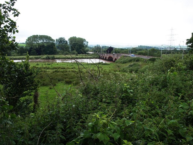
Image: © David Gearing Taken: 24 Jun 2012
The River Exe is right up to the top of its banks after heavy June rainfall. In another year, it might have been described as unusually heavy rainfall for June, but in 2012 it seems to have become the norm.
Images are licensed for reuse under creativecommons.org/licenses/by-sa/2.0
Image Location
Latitude
50.696507
Longitude
-3.497395