Mown field, Seaton Down Hill
Introduction
The photograph on this page of Mown field, Seaton Down Hill by Derek Harper as part of the Geograph project.
The Geograph project started in 2005 with the aim of publishing, organising and preserving representative images for every square kilometre of Great Britain, Ireland and the Isle of Man.

There are currently over 7.5m images from over 14,400 individuals and you can help contribute to the project by visiting https://www.geograph.org.uk
Mown field, Seaton Down Hill
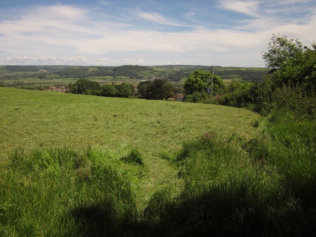
Image: © Derek Harper Taken: 19 Jun 2012
On the other side of Beer Footpath 30, which at this point turns into Seaton Footpath 20 as it crosses a field boundary followed by the parish boundary. In the distance is the Axe valley, with the village of Axmouth and hills on the far side.
Images are licensed for reuse under creativecommons.org/licenses/by-sa/2.0
Image Location
Latitude
50.711947
Longitude
-3.086141