Path in Couchill Coppice
Introduction
The photograph on this page of Path in Couchill Coppice by Derek Harper as part of the Geograph project.
The Geograph project started in 2005 with the aim of publishing, organising and preserving representative images for every square kilometre of Great Britain, Ireland and the Isle of Man.

There are currently over 7.5m images from over 14,400 individuals and you can help contribute to the project by visiting https://www.geograph.org.uk
Path in Couchill Coppice
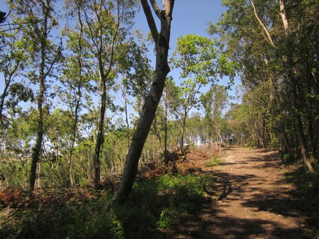
Image: © Derek Harper Taken: 19 Jun 2012
Beer Footpath 30 is approaching the top of the wood, with a cleared area on the left and piles of brushwood.
Images are licensed for reuse under creativecommons.org/licenses/by-sa/2.0
Image Location
Latitude
50.710495
Longitude
-3.087523