Footpath near Couchill
Introduction
The photograph on this page of Footpath near Couchill by Derek Harper as part of the Geograph project.
The Geograph project started in 2005 with the aim of publishing, organising and preserving representative images for every square kilometre of Great Britain, Ireland and the Isle of Man.

There are currently over 7.5m images from over 14,400 individuals and you can help contribute to the project by visiting https://www.geograph.org.uk
Footpath near Couchill
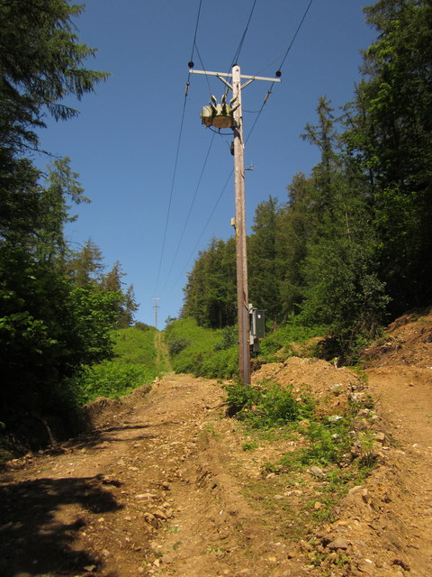
Image: © Derek Harper Taken: 19 Jun 2012
Beer Footpath 30 is not well waymarked, but there's not much doubt about its route, climbing steeply alongside this telegraph line up through woodland on Couchill Common from the Beer Brook valley.
Images are licensed for reuse under creativecommons.org/licenses/by-sa/2.0
Image Location
Latitude
50.705989
Longitude
-3.088552