Old Beer Road
Introduction
The photograph on this page of Old Beer Road by Derek Harper as part of the Geograph project.
The Geograph project started in 2005 with the aim of publishing, organising and preserving representative images for every square kilometre of Great Britain, Ireland and the Isle of Man.

There are currently over 7.5m images from over 14,400 individuals and you can help contribute to the project by visiting https://www.geograph.org.uk
Old Beer Road
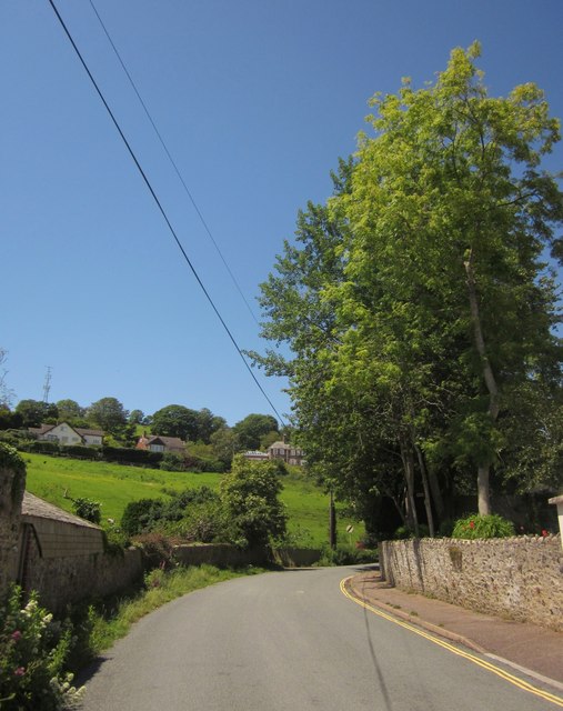
Image: © Derek Harper Taken: 19 Jun 2012
The road curving away from the junction shown in Image, and starting to climb the valley of the Beer Brook above Seaton Hole.
Images are licensed for reuse under creativecommons.org/licenses/by-sa/2.0
Image Location
Latitude
50.701779
Longitude
-3.086755