Sticil Bryn Mawr stile, Maesteg
Introduction
The photograph on this page of Sticil Bryn Mawr stile, Maesteg by Alan Richards as part of the Geograph project.
The Geograph project started in 2005 with the aim of publishing, organising and preserving representative images for every square kilometre of Great Britain, Ireland and the Isle of Man.

There are currently over 7.5m images from over 14,400 individuals and you can help contribute to the project by visiting https://www.geograph.org.uk
Sticil Bryn Mawr stile, Maesteg
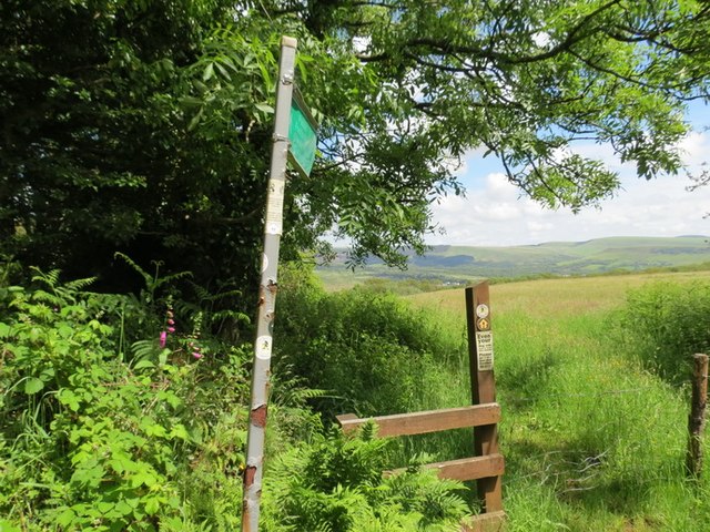
Image: © Alan Richards Taken: 17 Jun 2012
Arwyddbost a sticil ar lwybr cyhoeddus yn arwain o Ffarm Bryn Mawr at dref Maesteg A signpost and stile on public footpath leading from Bryn Mawr Farm (trans. Big Hill) towards the town of Maesteg (trans. Fair Field).
Images are licensed for reuse under creativecommons.org/licenses/by-sa/2.0
Image Location
Latitude
51.607205
Longitude
-3.66971