Beer Road and Old Beer Road
Introduction
The photograph on this page of Beer Road and Old Beer Road by Derek Harper as part of the Geograph project.
The Geograph project started in 2005 with the aim of publishing, organising and preserving representative images for every square kilometre of Great Britain, Ireland and the Isle of Man.

There are currently over 7.5m images from over 14,400 individuals and you can help contribute to the project by visiting https://www.geograph.org.uk
Beer Road and Old Beer Road
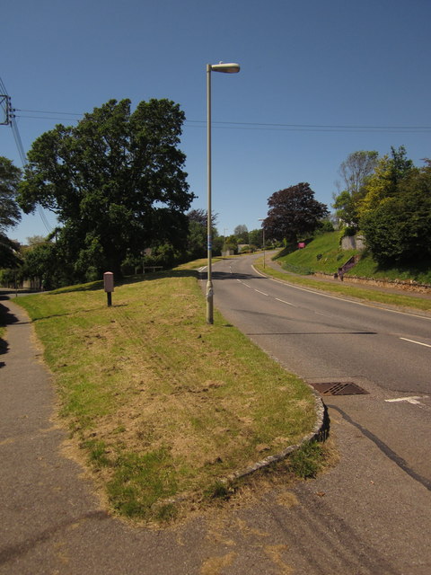
Image: © Derek Harper Taken: 19 Jun 2012
The old road is to the left; the visible section is a footpath. The B3174 now follows a route that turns inland, while the old road drops to Seaton Hole, carrying the inland route of the South West Coast Path.
Images are licensed for reuse under creativecommons.org/licenses/by-sa/2.0
Image Location
Latitude
50.703647
Longitude
-3.079293