Chesterton Lane
Introduction
The photograph on this page of Chesterton Lane by Nigel Mykura as part of the Geograph project.
The Geograph project started in 2005 with the aim of publishing, organising and preserving representative images for every square kilometre of Great Britain, Ireland and the Isle of Man.

There are currently over 7.5m images from over 14,400 individuals and you can help contribute to the project by visiting https://www.geograph.org.uk
Chesterton Lane
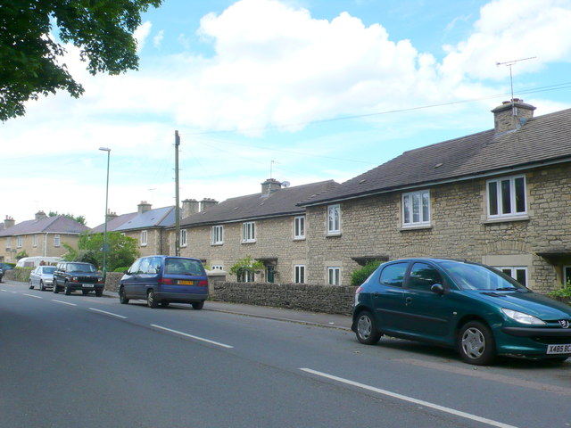
Image: © Nigel Mykura Taken: 17 Jun 2012
These relatively modern terraced houses on the southern outskirts of Cirencester are faced with local stone.
Images are licensed for reuse under creativecommons.org/licenses/by-sa/2.0
Image Location
Latitude
51.708092
Longitude
-1.965943