Flooding, Spencer's Bridge near Moira (2012-2)
Introduction
The photograph on this page of Flooding, Spencer's Bridge near Moira (2012-2) by Albert Bridge as part of the Geograph project.
The Geograph project started in 2005 with the aim of publishing, organising and preserving representative images for every square kilometre of Great Britain, Ireland and the Isle of Man.

There are currently over 7.5m images from over 14,400 individuals and you can help contribute to the project by visiting https://www.geograph.org.uk
Flooding, Spencer's Bridge near Moira (2012-2)
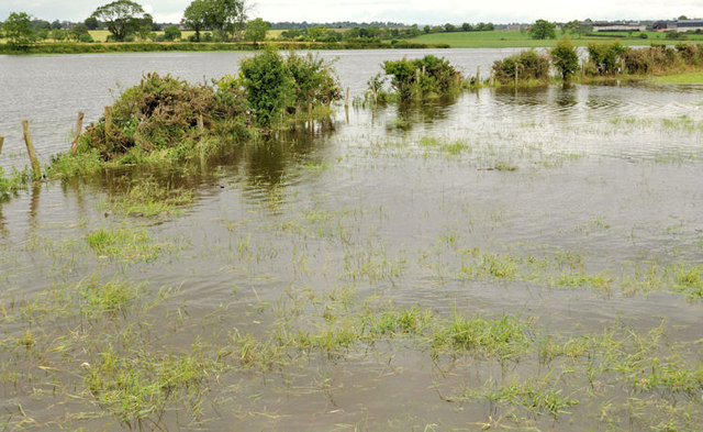
Image: © Albert Bridge Taken: 23 Jun 2012
Flooding, on the northern side of the Lany Road, to the east of the Bridge Road. In normal circumstances a field would be visible and the Lagan would be a narrow strip hidden in the far background.
Images are licensed for reuse under creativecommons.org/licenses/by-sa/2.0
Image Location
Latitude
54.477348
Longitude
-6.173898