View into Upper Northam Close
Introduction
The photograph on this page of View into Upper Northam Close by David Martin as part of the Geograph project.
The Geograph project started in 2005 with the aim of publishing, organising and preserving representative images for every square kilometre of Great Britain, Ireland and the Isle of Man.

There are currently over 7.5m images from over 14,400 individuals and you can help contribute to the project by visiting https://www.geograph.org.uk
View into Upper Northam Close
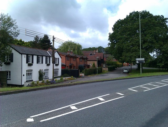
Image: © David Martin Taken: 22 Jun 2012
Long ago, before the construction of the M27, the road in the foreground continued straight ahead past the white house and on towards Southampton. The main road now bears right to Junction 7 on the motorway, while the route straight ahead has been downgraded to a footpath through a tunnel.
Images are licensed for reuse under creativecommons.org/licenses/by-sa/2.0
Image Location
Latitude
50.911123
Longitude
-1.314225