Croxton Kerrial, Leicestershire
Introduction
The photograph on this page of Croxton Kerrial, Leicestershire by Kate Jewell as part of the Geograph project.
The Geograph project started in 2005 with the aim of publishing, organising and preserving representative images for every square kilometre of Great Britain, Ireland and the Isle of Man.

There are currently over 7.5m images from over 14,400 individuals and you can help contribute to the project by visiting https://www.geograph.org.uk
Croxton Kerrial, Leicestershire
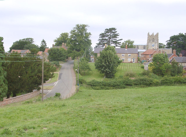
Image: © Kate Jewell Taken: 24 Jul 2005
This village of ironstone cottages, substantial old houses and modern development is divided by the busy A607. The Church of St Botolph & St John the Baptist is on the north edge, almost in the centre of the square. Features of this half of the village to the north of the main road are the steep winding lanes and the small fields interspersed with houses.
Images are licensed for reuse under creativecommons.org/licenses/by-sa/2.0
Image Location
Latitude
52.856073
Longitude
-0.760909