Semicircle of houses, High Street, Nantyffyllon
Introduction
The photograph on this page of Semicircle of houses, High Street, Nantyffyllon by Jaggery as part of the Geograph project.
The Geograph project started in 2005 with the aim of publishing, organising and preserving representative images for every square kilometre of Great Britain, Ireland and the Isle of Man.

There are currently over 7.5m images from over 14,400 individuals and you can help contribute to the project by visiting https://www.geograph.org.uk
Semicircle of houses, High Street, Nantyffyllon
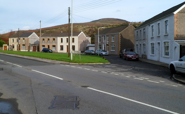
Image: © Jaggery Taken: 17 Nov 2011
Viewed from near a coal dram http://www.geograph.org.uk/photo/3006260 at the boundary of Maesteg and Nantyffyllon. The houses are on the west bank of the River Llynfi.
Images are licensed for reuse under creativecommons.org/licenses/by-sa/2.0
Image Location
Latitude
51.615043
Longitude
-3.662342