Southern boundary of Nantyffyllon
Introduction
The photograph on this page of Southern boundary of Nantyffyllon by Jaggery as part of the Geograph project.
The Geograph project started in 2005 with the aim of publishing, organising and preserving representative images for every square kilometre of Great Britain, Ireland and the Isle of Man.

There are currently over 7.5m images from over 14,400 individuals and you can help contribute to the project by visiting https://www.geograph.org.uk
Southern boundary of Nantyffyllon
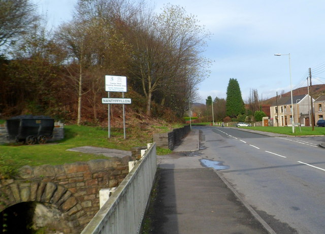
Image: © Jaggery Taken: 17 Nov 2011
The boundary between Maesteg and Nantyffyllon is here marked by the River Llynfi which flows under the A4063 at this point. Castle Street Maesteg on this side of the river becomes High Street Nantyffyllon ahead. On the left is a coal dram. http://www.geograph.org.uk/photo/3006260
Images are licensed for reuse under creativecommons.org/licenses/by-sa/2.0
Image Location
Latitude
51.614145
Longitude
-3.662309