New road, Gleneagles
Introduction
The photograph on this page of New road, Gleneagles by Richard Webb as part of the Geograph project.
The Geograph project started in 2005 with the aim of publishing, organising and preserving representative images for every square kilometre of Great Britain, Ireland and the Isle of Man.

There are currently over 7.5m images from over 14,400 individuals and you can help contribute to the project by visiting https://www.geograph.org.uk
New road, Gleneagles
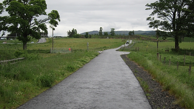
Image: © Richard Webb Taken: 17 Jun 2012
A short stretch of new road which links a single track road with the A823. The old junction with the A9 has been blocked off. This now means that there is a reasonable alternative to the A9 for some distance, but a farm road near Blackford does need the negotiation of locked gates.
Images are licensed for reuse under creativecommons.org/licenses/by-sa/2.0
Image Location
Latitude
56.267137
Longitude
-3.742769