Housing on the corner of Winn Street and Rowland Road
Introduction
The photograph on this page of Housing on the corner of Winn Street and Rowland Road by Jonathan Thacker as part of the Geograph project.
The Geograph project started in 2005 with the aim of publishing, organising and preserving representative images for every square kilometre of Great Britain, Ireland and the Isle of Man.

There are currently over 7.5m images from over 14,400 individuals and you can help contribute to the project by visiting https://www.geograph.org.uk
Housing on the corner of Winn Street and Rowland Road
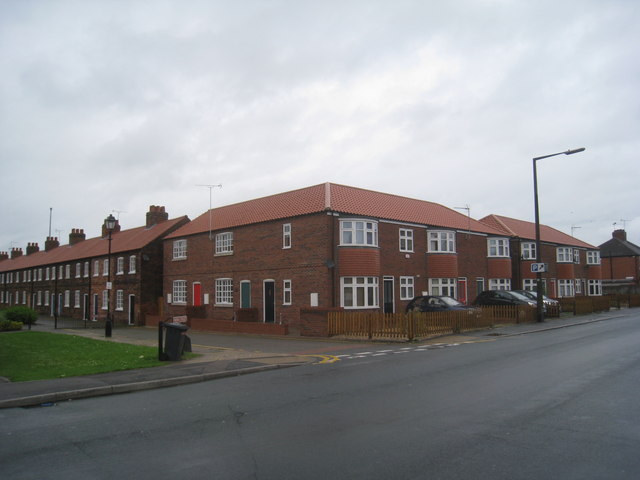
Image: © Jonathan Thacker Taken: 22 Jun 2012
This relatively recent development has tried to relate to existing nearby housing. I can understand why some attempt might be made to match the housing in Winn Street (a conservation area) but the bay windows on the Roland Road frontage does seem to be taking things a bit far. Or have between-the-wars semis (which is what much of Rowland Road consists of) become historically valuable?
Images are licensed for reuse under creativecommons.org/licenses/by-sa/2.0
Image Location
Latitude
53.585983
Longitude
-0.642073