Mansfield, Notts (Station Area)
Introduction
The photograph on this page of Mansfield, Notts (Station Area) by David Hallam-Jones as part of the Geograph project.
The Geograph project started in 2005 with the aim of publishing, organising and preserving representative images for every square kilometre of Great Britain, Ireland and the Isle of Man.

There are currently over 7.5m images from over 14,400 individuals and you can help contribute to the project by visiting https://www.geograph.org.uk
Mansfield, Notts (Station Area)
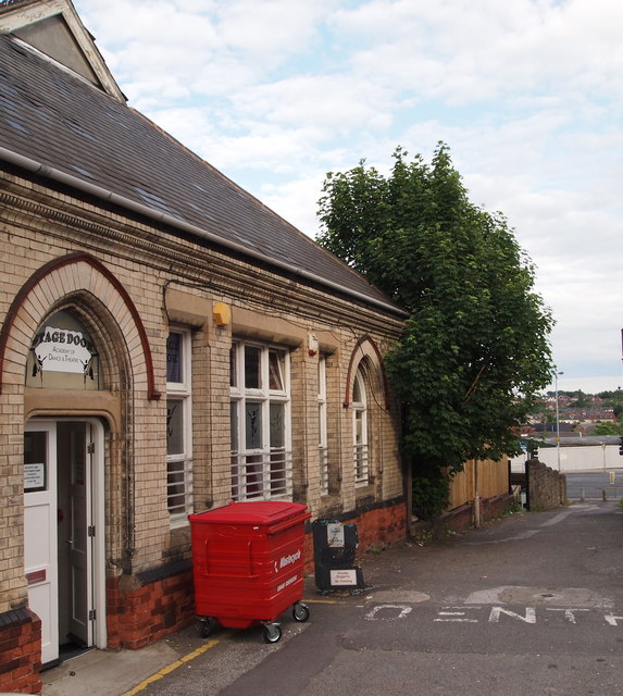
Image: © David Hallam-Jones Taken: 19 Jun 2012
The proximity of this tile-fronted building - on Clerkson Street - to nearby Station Street lends itself to the suggestion that this could have been the former railway entrance and booking office. It is now occupied by a dance and theatrical school. St Peter's Way (A6009) is visible beyond the cul-de-sac bollards.
Images are licensed for reuse under creativecommons.org/licenses/by-sa/2.0
Image Location
Latitude
53.142263
Longitude
-1.196114