Styring Street
Introduction
The photograph on this page of Styring Street by Alan Murray-Rust as part of the Geograph project.
The Geograph project started in 2005 with the aim of publishing, organising and preserving representative images for every square kilometre of Great Britain, Ireland and the Isle of Man.

There are currently over 7.5m images from over 14,400 individuals and you can help contribute to the project by visiting https://www.geograph.org.uk
Styring Street
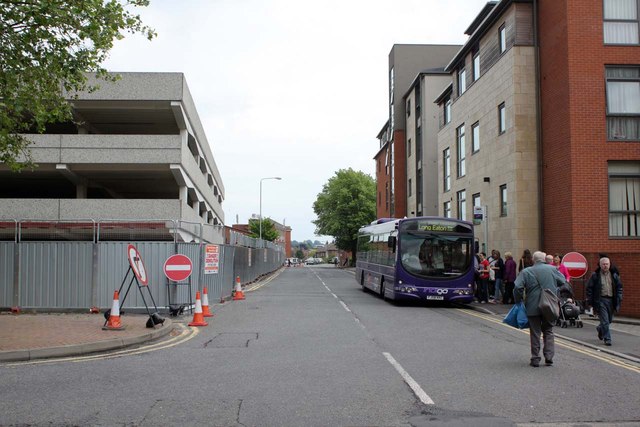
Image: © Alan Murray-Rust Taken: 21 Jun 2012
Some of the stops from Beeston Bus Station have been located here. The multi-storey car park is now fully fenced in for demolition work, compared with http://www.geograph.org.uk/photo/2950517
Images are licensed for reuse under creativecommons.org/licenses/by-sa/2.0
Image Location
Latitude
52.925297
Longitude
-1.215013