Holly Dale farm from the road below
Introduction
The photograph on this page of Holly Dale farm from the road below by Richard Law as part of the Geograph project.
The Geograph project started in 2005 with the aim of publishing, organising and preserving representative images for every square kilometre of Great Britain, Ireland and the Isle of Man.

There are currently over 7.5m images from over 14,400 individuals and you can help contribute to the project by visiting https://www.geograph.org.uk
Holly Dale farm from the road below
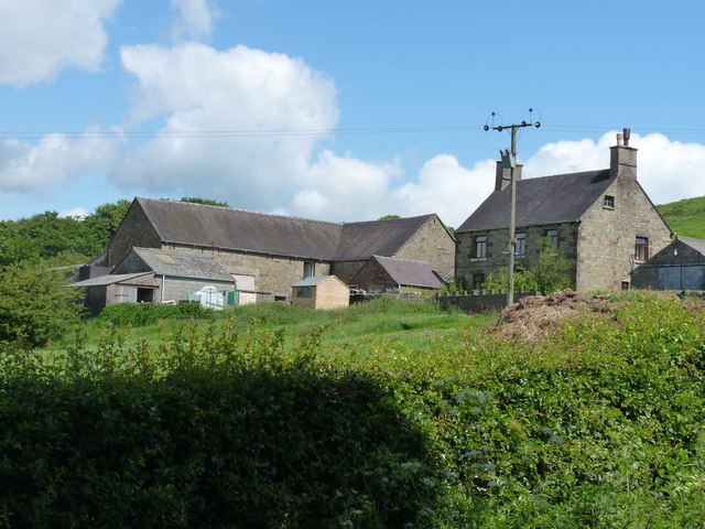
Image: © Richard Law Taken: 19 Jun 2012
Outbuildings and the farmhouse at Holly Dale, as seen from the road leading to Bradnop a little further down the hill.
Images are licensed for reuse under creativecommons.org/licenses/by-sa/2.0
Image Location
Latitude
53.098139
Longitude
-1.972928