Hewelsfield Common
Introduction
The photograph on this page of Hewelsfield Common by Gill Stott as part of the Geograph project.
The Geograph project started in 2005 with the aim of publishing, organising and preserving representative images for every square kilometre of Great Britain, Ireland and the Isle of Man.

There are currently over 7.5m images from over 14,400 individuals and you can help contribute to the project by visiting https://www.geograph.org.uk
Hewelsfield Common
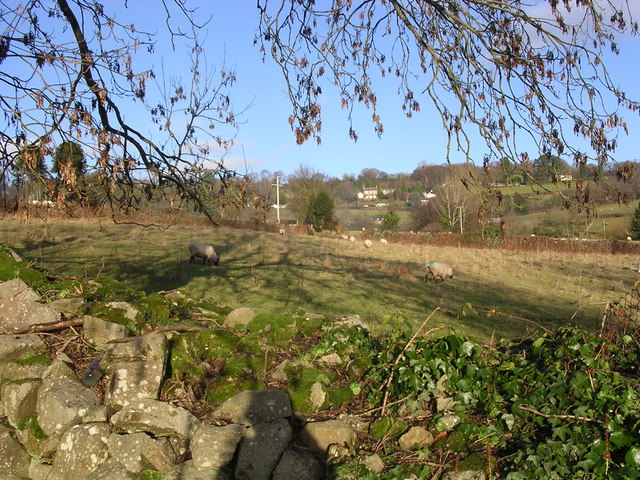
Image: © Gill Stott Taken: 17 Dec 2006
View shows the pastoral and dispersed settlement nature of this area within the Wye Valley AONB.
Images are licensed for reuse under creativecommons.org/licenses/by-sa/2.0
Image Location


Leaflet Map data © OpenStreetMap
Latitude
51.714914
Longitude
-2.652748