Wheatfield near Ashow
Introduction
The photograph on this page of Wheatfield near Ashow by David Stowell as part of the Geograph project.
The Geograph project started in 2005 with the aim of publishing, organising and preserving representative images for every square kilometre of Great Britain, Ireland and the Isle of Man.

There are currently over 7.5m images from over 14,400 individuals and you can help contribute to the project by visiting https://www.geograph.org.uk
Wheatfield near Ashow
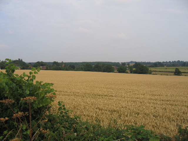
Image: © David Stowell Taken: 23 Jul 2005
Looking across from the B4115 with the village of Ashow just visible in the trees.
Images are licensed for reuse under creativecommons.org/licenses/by-sa/2.0
Image Location
Latitude
52.330842
Longitude
-1.552381