Moorland near Moortown
Introduction
The photograph on this page of Moorland near Moortown by Derek Harper as part of the Geograph project.
The Geograph project started in 2005 with the aim of publishing, organising and preserving representative images for every square kilometre of Great Britain, Ireland and the Isle of Man.

There are currently over 7.5m images from over 14,400 individuals and you can help contribute to the project by visiting https://www.geograph.org.uk
Moorland near Moortown
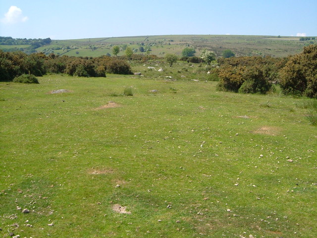
Image: © Derek Harper Taken: 8 Jun 2006
The unfenced lane past Ensworthy crosses the edge of the open moor. A small tributary of the Forder Brook crosses this area of grass between gorse, with a rockier area beyond. Further off, the land climbs to the smooth outline of Buttern Hill.
Images are licensed for reuse under creativecommons.org/licenses/by-sa/2.0
Image Location
Latitude
50.686508
Longitude
-3.894034