Nunhead: St. Asaph Road
Introduction
The photograph on this page of Nunhead: St. Asaph Road by Dr Neil Clifton as part of the Geograph project.
The Geograph project started in 2005 with the aim of publishing, organising and preserving representative images for every square kilometre of Great Britain, Ireland and the Isle of Man.

There are currently over 7.5m images from over 14,400 individuals and you can help contribute to the project by visiting https://www.geograph.org.uk
Nunhead: St. Asaph Road
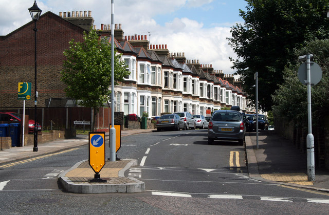
Image: © Dr Neil Clifton Taken: 18 Jun 2012
Looking east, with excellent late Victorian terrace houses, that, it must be said, have endured much better than much of the rubbish put up in the 1960s.
Images are licensed for reuse under creativecommons.org/licenses/by-sa/2.0
Image Location
Latitude
51.465747
Longitude
-0.049583