Nunhead: The Sign Remains...
Introduction
The photograph on this page of Nunhead: The Sign Remains... by Dr Neil Clifton as part of the Geograph project.
The Geograph project started in 2005 with the aim of publishing, organising and preserving representative images for every square kilometre of Great Britain, Ireland and the Isle of Man.

There are currently over 7.5m images from over 14,400 individuals and you can help contribute to the project by visiting https://www.geograph.org.uk
Nunhead: The Sign Remains...
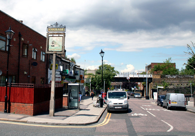
Image: © Dr Neil Clifton Taken: 18 Jun 2012
Looking north towards the railway bridge carrying the ex-LCD railway, the only remnant of the former 'Railway Tavern' is its very faded sign.
Images are licensed for reuse under creativecommons.org/licenses/by-sa/2.0
Image Location
Latitude
51.466235
Longitude
-0.051866