Stepping stones near Murchington
Introduction
The photograph on this page of Stepping stones near Murchington by Derek Harper as part of the Geograph project.
The Geograph project started in 2005 with the aim of publishing, organising and preserving representative images for every square kilometre of Great Britain, Ireland and the Isle of Man.

There are currently over 7.5m images from over 14,400 individuals and you can help contribute to the project by visiting https://www.geograph.org.uk
Stepping stones near Murchington
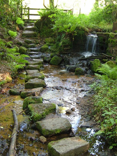
Image: © Derek Harper Taken: 8 Jun 2006
A reverse view of Image, with the small stream dropping over a weir just above the path crossing, and the path (the Taw-Teign Link path following Throwleigh Footpath 2) leading up into Image on the far side. Taken from the edge of War Cleave Wood.
Images are licensed for reuse under creativecommons.org/licenses/by-sa/2.0
Image Location
Latitude
50.676853
Longitude
-3.856844