A259 junction with Chapel Lane
Introduction
The photograph on this page of A259 junction with Chapel Lane by Stuart Logan as part of the Geograph project.
The Geograph project started in 2005 with the aim of publishing, organising and preserving representative images for every square kilometre of Great Britain, Ireland and the Isle of Man.

There are currently over 7.5m images from over 14,400 individuals and you can help contribute to the project by visiting https://www.geograph.org.uk
A259 junction with Chapel Lane
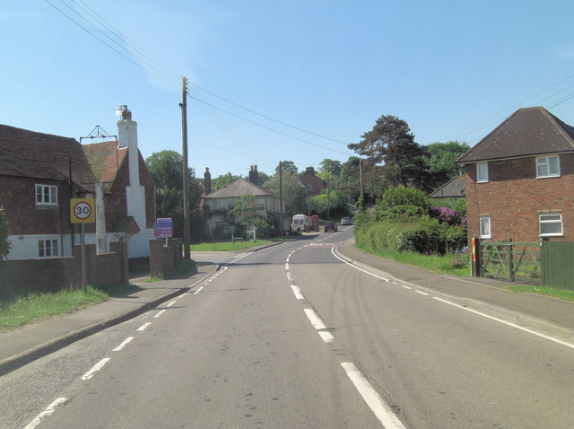
Image: © Stuart Logan Taken: 27 May 2012
It's only ecumenical that after a junction with Church Lane, back up the road, there occurs one with Chapel Lane; but not so admirable that on the left an empty pub sign signals the demise of another hostelry.
Images are licensed for reuse under creativecommons.org/licenses/by-sa/2.0
Image Location


Leaflet Map data © OpenStreetMap
Latitude
50.893819
Longitude
0.631486