Mount Pleasant Farmhouse, Murchington
Introduction
The photograph on this page of Mount Pleasant Farmhouse, Murchington by Derek Harper as part of the Geograph project.
The Geograph project started in 2005 with the aim of publishing, organising and preserving representative images for every square kilometre of Great Britain, Ireland and the Isle of Man.

There are currently over 7.5m images from over 14,400 individuals and you can help contribute to the project by visiting https://www.geograph.org.uk
Mount Pleasant Farmhouse, Murchington
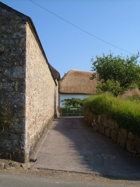
Image: © Derek Harper Taken: 8 Jun 2006
The thatched farmhouse is originally C16 http://www.britishlistedbuildings.co.uk/en-94757-mount-pleasant-farmhouse-throwleigh . On the left is a southern extension from Haycroft Farmhouse, visible in Image
Images are licensed for reuse under creativecommons.org/licenses/by-sa/2.0
Image Location
Latitude
50.679779
Longitude
-3.859508