Signpost, Higher Murchington
Introduction
The photograph on this page of Signpost, Higher Murchington by Derek Harper as part of the Geograph project.
The Geograph project started in 2005 with the aim of publishing, organising and preserving representative images for every square kilometre of Great Britain, Ireland and the Isle of Man.

There are currently over 7.5m images from over 14,400 individuals and you can help contribute to the project by visiting https://www.geograph.org.uk
Signpost, Higher Murchington
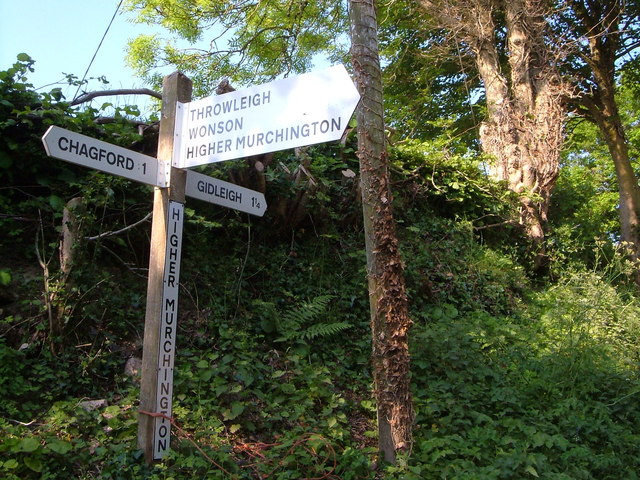
Image: © Derek Harper Taken: 8 Jun 2006
At a junction on the west side of the hamlet. This is passed by the Taw-Teign Link path.
Images are licensed for reuse under creativecommons.org/licenses/by-sa/2.0
Image Location
Latitude
50.679206
Longitude
-3.861608