Stile House farm from the east
Introduction
The photograph on this page of Stile House farm from the east by Richard Law as part of the Geograph project.
The Geograph project started in 2005 with the aim of publishing, organising and preserving representative images for every square kilometre of Great Britain, Ireland and the Isle of Man.

There are currently over 7.5m images from over 14,400 individuals and you can help contribute to the project by visiting https://www.geograph.org.uk
Stile House farm from the east
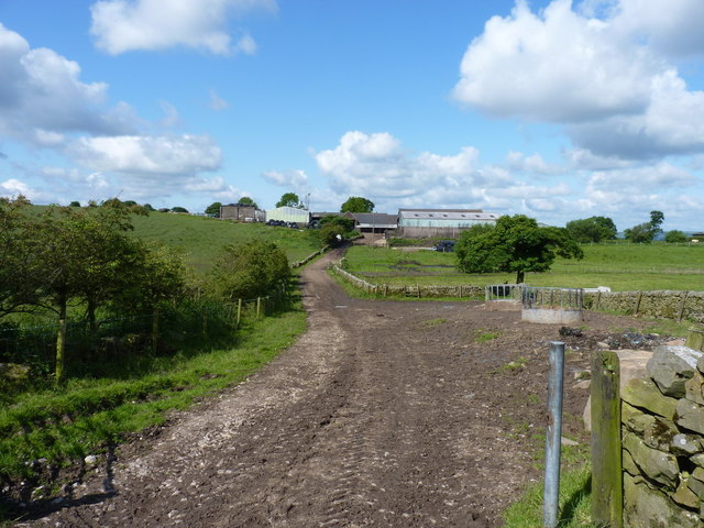
Image: © Richard Law Taken: 19 Jun 2012
This good, albeit muddy, track runs east from the farm towards the hayfields running up onto Morridge, but it peters out soon after this point. The footpath then continues rather vaguely eastwards across those fields.
Images are licensed for reuse under creativecommons.org/licenses/by-sa/2.0
Image Location
Latitude
53.104883
Longitude
-1.983828