Meadow by the North Teign
Introduction
The photograph on this page of Meadow by the North Teign by Derek Harper as part of the Geograph project.
The Geograph project started in 2005 with the aim of publishing, organising and preserving representative images for every square kilometre of Great Britain, Ireland and the Isle of Man.

There are currently over 7.5m images from over 14,400 individuals and you can help contribute to the project by visiting https://www.geograph.org.uk
Meadow by the North Teign
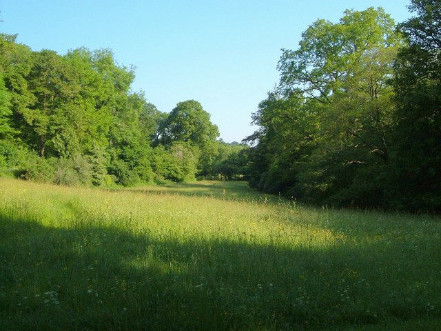
Image: © Derek Harper Taken: 8 Jun 2006
A view from the last stretch of the public road (here followed by the Two Moors Way) west of Leigh Bridge, so just west of where Image was taken. The river runs along the right hand side of the meadow. Throwleigh Bridleway 1 follows the drive to Leigh and Gidleigh Park through the trees on the left.
Images are licensed for reuse under creativecommons.org/licenses/by-sa/2.0
Image Location
Latitude
50.673745
Longitude
-3.865638