Rocky field above the Teign
Introduction
The photograph on this page of Rocky field above the Teign by Derek Harper as part of the Geograph project.
The Geograph project started in 2005 with the aim of publishing, organising and preserving representative images for every square kilometre of Great Britain, Ireland and the Isle of Man.

There are currently over 7.5m images from over 14,400 individuals and you can help contribute to the project by visiting https://www.geograph.org.uk
Rocky field above the Teign
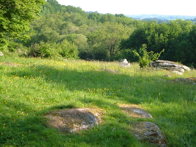
Image: © Derek Harper Taken: 8 Jun 2006
From the Two Moors Way as it follows Chagford Byway 26 along a ridge between the North and South Teign rivers, with granite outcrops, and woods beyond.
Images are licensed for reuse under creativecommons.org/licenses/by-sa/2.0
Image Location
Latitude
50.670603
Longitude
-3.870891