Reigate Priory
Introduction
The photograph on this page of Reigate Priory by Ian Capper as part of the Geograph project.
The Geograph project started in 2005 with the aim of publishing, organising and preserving representative images for every square kilometre of Great Britain, Ireland and the Isle of Man.

There are currently over 7.5m images from over 14,400 individuals and you can help contribute to the project by visiting https://www.geograph.org.uk
Reigate Priory
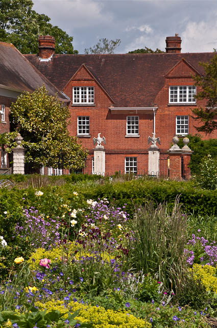
Image: © Ian Capper Taken: 17 Jun 2012
Reigate Priory viewed across one of the borders alongside the Monks' Walk. For a closer view of the gateposts, see Image
Images are licensed for reuse under creativecommons.org/licenses/by-sa/2.0
Image Location
Latitude
51.235664
Longitude
-0.206291