WW2 Pill box, West Hamsteels
Introduction
The photograph on this page of WW2 Pill box, West Hamsteels by Mick Garratt as part of the Geograph project.
The Geograph project started in 2005 with the aim of publishing, organising and preserving representative images for every square kilometre of Great Britain, Ireland and the Isle of Man.

There are currently over 7.5m images from over 14,400 individuals and you can help contribute to the project by visiting https://www.geograph.org.uk
WW2 Pill box, West Hamsteels
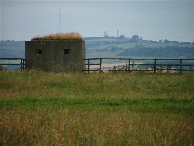
Image: © Mick Garratt Taken: 23 Jul 2005
Surveying the Lanchester Valley. Unmapped and almost on the grid line; a close call.
Images are licensed for reuse under creativecommons.org/licenses/by-sa/2.0
Image Location


Leaflet Map data © OpenStreetMap
Latitude
54.795118
Longitude
-1.744898