Taunton: Silk Meadows
Introduction
The photograph on this page of Taunton: Silk Meadows by Martin Bodman as part of the Geograph project.
The Geograph project started in 2005 with the aim of publishing, organising and preserving representative images for every square kilometre of Great Britain, Ireland and the Isle of Man.

There are currently over 7.5m images from over 14,400 individuals and you can help contribute to the project by visiting https://www.geograph.org.uk
Taunton: Silk Meadows
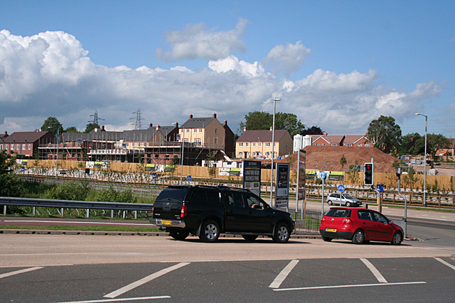
Image: © Martin Bodman Taken: 18 Jun 2012
New housing under construction by the A306. Seen from the junction with Great Western Way, foreground
Images are licensed for reuse under creativecommons.org/licenses/by-sa/2.0
Image Location
Latitude
51.028589
Longitude
-3.132742