Central Blackheath
Introduction
The photograph on this page of Central Blackheath by Dr Neil Clifton as part of the Geograph project.
The Geograph project started in 2005 with the aim of publishing, organising and preserving representative images for every square kilometre of Great Britain, Ireland and the Isle of Man.

There are currently over 7.5m images from over 14,400 individuals and you can help contribute to the project by visiting https://www.geograph.org.uk
Central Blackheath
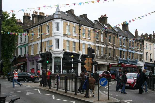
Image: © Dr Neil Clifton Taken: 16 Jun 2012
This is the busy road junction in the centre of Blackheath on the B212, where a one-way traffic scheme is in operation. On the left is Tranquil Vale, which must be used by all northbound traffic. Southbound traffic comes down Montpelier Vale, on the right.
Images are licensed for reuse under creativecommons.org/licenses/by-sa/2.0
Image Location
Latitude
51.466481
Longitude
0.008182