Brentmoor Road
Introduction
The photograph on this page of Brentmoor Road by Alan Hunt as part of the Geograph project.
The Geograph project started in 2005 with the aim of publishing, organising and preserving representative images for every square kilometre of Great Britain, Ireland and the Isle of Man.

There are currently over 7.5m images from over 14,400 individuals and you can help contribute to the project by visiting https://www.geograph.org.uk
Brentmoor Road
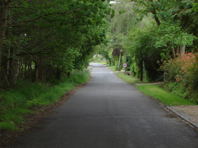
Image: © Alan Hunt Taken: 18 Jun 2012
Looking along Brentmoor Road which runs from the A322, the Guildford Road to the edge of the Pirbright range.
Images are licensed for reuse under creativecommons.org/licenses/by-sa/2.0
Image Location
Latitude
51.33742
Longitude
-0.657288