Houses near the southern end of Old Road, Bwlch
Introduction
The photograph on this page of Houses near the southern end of Old Road, Bwlch by Jaggery as part of the Geograph project.
The Geograph project started in 2005 with the aim of publishing, organising and preserving representative images for every square kilometre of Great Britain, Ireland and the Isle of Man.

There are currently over 7.5m images from over 14,400 individuals and you can help contribute to the project by visiting https://www.geograph.org.uk
Houses near the southern end of Old Road, Bwlch
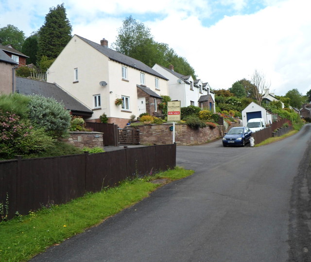
Image: © Jaggery Taken: 17 Jun 2012
A view looking north up Old Road, formerly the route taken by the A40 through part of the village of Bwlch, Powys. The present-day route of the A40 is to the east of Old Road.
Images are licensed for reuse under creativecommons.org/licenses/by-sa/2.0
Image Location
Latitude
51.887337
Longitude
-3.237902