Great Wakering: New Road
Introduction
The photograph on this page of Great Wakering: New Road by Julieanne Savage as part of the Geograph project.
The Geograph project started in 2005 with the aim of publishing, organising and preserving representative images for every square kilometre of Great Britain, Ireland and the Isle of Man.

There are currently over 7.5m images from over 14,400 individuals and you can help contribute to the project by visiting https://www.geograph.org.uk
Great Wakering: New Road
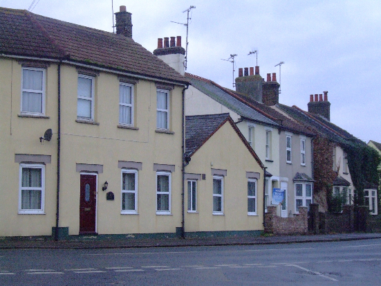
Image: © Julieanne Savage Taken: 9 Dec 2006
Taken standing outside St. Nicholas churchyard at the junction of Shoebury Road and New Road. The yellow house in the foreground was previously a bakery, and can be seen in this old Edwardian postcard if you click below. http://www.peter-owen.myby.co.uk/postcards/greatwakering/gtwk05.jpg
Images are licensed for reuse under creativecommons.org/licenses/by-sa/2.0
Image Location
Latitude
51.552153
Longitude
0.810695