Mosaic panel, Ezra Street
Introduction
The photograph on this page of Mosaic panel, Ezra Street by Jim Osley as part of the Geograph project.
The Geograph project started in 2005 with the aim of publishing, organising and preserving representative images for every square kilometre of Great Britain, Ireland and the Isle of Man.

There are currently over 7.5m images from over 14,400 individuals and you can help contribute to the project by visiting https://www.geograph.org.uk
Mosaic panel, Ezra Street
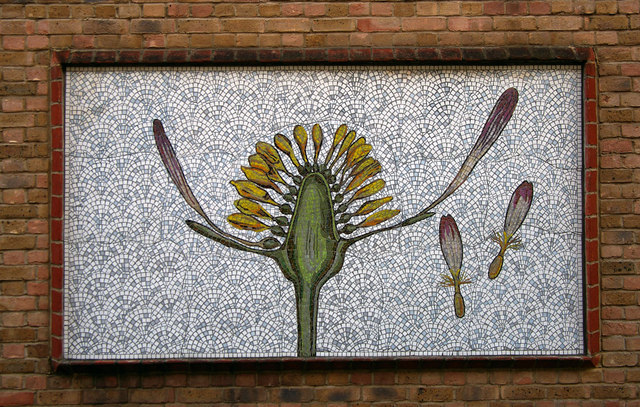
Image: © Jim Osley Taken: 17 Jun 2012
One of a number of panels on the Ezra Street boundary wall of Columbia Primary School, by Carina Wyatt and Cathy Ludlow
Images are licensed for reuse under creativecommons.org/licenses/by-sa/2.0
Image Location
Latitude
51.529142
Longitude
-0.071096