Nottingham - NG3
Introduction
The photograph on this page of Nottingham - NG3 by David Hallam-Jones as part of the Geograph project.
The Geograph project started in 2005 with the aim of publishing, organising and preserving representative images for every square kilometre of Great Britain, Ireland and the Isle of Man.

There are currently over 7.5m images from over 14,400 individuals and you can help contribute to the project by visiting https://www.geograph.org.uk
Nottingham - NG3
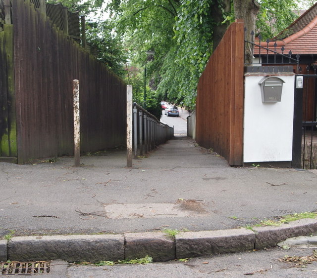
Image: © David Hallam-Jones Taken: 17 Jun 2012
This sloping alleyway links St Andrew's Road (in the distance) with the closed end of the Chestnut Grove cul-de-sac. As a result, residents living in the Robert Wilkinson Smith Homes would see this passageway straight ahead once having passed through the entrance gate that serves their residential complex. Mansfield Road is 2-3 minutes walk from the lower end of this path.
Images are licensed for reuse under creativecommons.org/licenses/by-sa/2.0
Image Location
Latitude
52.966929
Longitude
-1.151128