High Barn
Introduction
The photograph on this page of High Barn by Simon Carey as part of the Geograph project.
The Geograph project started in 2005 with the aim of publishing, organising and preserving representative images for every square kilometre of Great Britain, Ireland and the Isle of Man.

There are currently over 7.5m images from over 14,400 individuals and you can help contribute to the project by visiting https://www.geograph.org.uk
High Barn
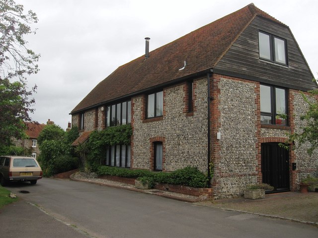
Image: © Simon Carey Taken: 16 Jun 2012
Built in the 18th century and originally part of Court House Farm. It was converted into flats in 1968.
Images are licensed for reuse under creativecommons.org/licenses/by-sa/2.0
Image Location
Latitude
50.808972
Longitude
0.035068