Modernised old house beside the A68
Introduction
The photograph on this page of Modernised old house beside the A68 by Robert Graham as part of the Geograph project.
The Geograph project started in 2005 with the aim of publishing, organising and preserving representative images for every square kilometre of Great Britain, Ireland and the Isle of Man.

There are currently over 7.5m images from over 14,400 individuals and you can help contribute to the project by visiting https://www.geograph.org.uk
Modernised old house beside the A68
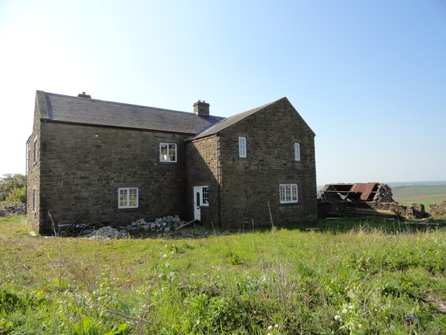
Image: © Robert Graham Taken: 22 May 2012
About 1k north of High Stoop, it may be an old farmhouse, or possibly connected with the former railway which runs past.
Images are licensed for reuse under creativecommons.org/licenses/by-sa/2.0
Image Location


Leaflet Map data © OpenStreetMap
Latitude
54.763121
Longitude
-1.849067