Courthouse Farm
Introduction
The photograph on this page of Courthouse Farm by Simon Carey as part of the Geograph project.
The Geograph project started in 2005 with the aim of publishing, organising and preserving representative images for every square kilometre of Great Britain, Ireland and the Isle of Man.

There are currently over 7.5m images from over 14,400 individuals and you can help contribute to the project by visiting https://www.geograph.org.uk
Courthouse Farm
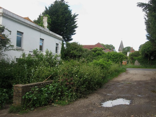
Image: © Simon Carey Taken: 16 Jun 2012
Parts of the building date from the 16th century but the house has been much altered over the years. It is inhabited though the small front garden could do with tidying up as it is getting a little bit overgrown. Once the major farm of the village.
Images are licensed for reuse under creativecommons.org/licenses/by-sa/2.0
Image Location
Latitude
50.80881
Longitude
0.034068