Roderick Avenue
Introduction
The photograph on this page of Roderick Avenue by Simon Carey as part of the Geograph project.
The Geograph project started in 2005 with the aim of publishing, organising and preserving representative images for every square kilometre of Great Britain, Ireland and the Isle of Man.

There are currently over 7.5m images from over 14,400 individuals and you can help contribute to the project by visiting https://www.geograph.org.uk
Roderick Avenue
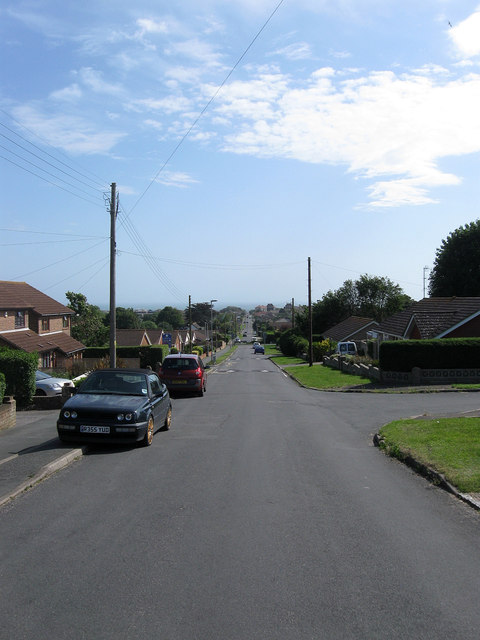
Image: © Simon Carey Taken: 16 Jun 2012
The longest of the north-south avenues in Peacehaven and the first to be made up. The straight road originally stretched from the cliff top to Valley Road and was later extended further to The Lookout and was the major access route to the north of the town. However, during the 1970s, the section between Arundel Road and Balcombe Road was largely removed to construct the Meridian Centre with the remnant turned into a delivery access road that was later renamed Roderick Way. Driving its entire length is also now impossible, there is no longer any access from the A259 whilst this section now ends at the junction with Glynn Road, a barrier prevents any further move southwards.
Images are licensed for reuse under creativecommons.org/licenses/by-sa/2.0
Image Location
Latitude
50.800642
Longitude
0.001923