Outfall into the River Taff, Troedyrhiw
Introduction
The photograph on this page of Outfall into the River Taff, Troedyrhiw by Jaggery as part of the Geograph project.
The Geograph project started in 2005 with the aim of publishing, organising and preserving representative images for every square kilometre of Great Britain, Ireland and the Isle of Man.

There are currently over 7.5m images from over 14,400 individuals and you can help contribute to the project by visiting https://www.geograph.org.uk
Outfall into the River Taff, Troedyrhiw
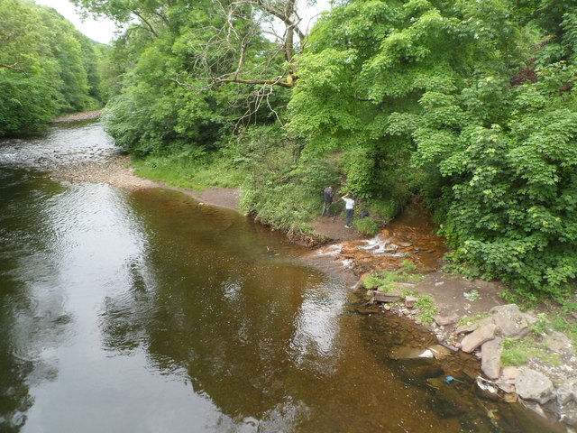
Image: © Jaggery Taken: 13 Jun 2012
Viewed from Pont Rhun. http://www.geograph.org.uk/photo/83302 It is unclear from maps whether the unnamed outfall (to the right of boy with a white top) is a small stream or the end of a man-made channel.
Images are licensed for reuse under creativecommons.org/licenses/by-sa/2.0
Image Location
Latitude
51.711663
Longitude
-3.35034