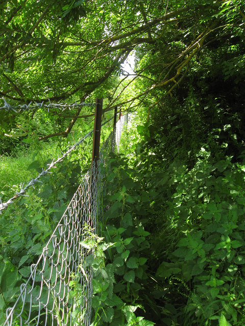
Footpath to Peacehaven
Introduction
The photograph on this page of Footpath to Peacehaven by Simon Carey as part of the Geograph project.
The Geograph project started in 2005 with the aim of publishing, organising and preserving representative images for every square kilometre of Great Britain, Ireland and the Isle of Man.
There are currently over 7.5m images from over 14,400 individuals and you can help contribute to the project by visiting https://www.geograph.org.uk

Image: © Simon Carey Taken: 9 Jun 2012
The section that runs from Lewes Road up onto the Downs is exceptionally nasty and overgrown and requires either a very thick hide or a chain saw. Waist high nettles coupled with low hanging trees and thorn bushes required much stooping and additional swearing. The barbed wire fence on the left did not help matters either. A real shame as once the path climbs away from this section it is beautiful open downland until Peacehaven.

